Photo Essay – Western Ghats becomes World Heritage Site
To the delight of every naturalist and conservationist, the Western Ghats were accorded World Heritage Site status by UNESCO two days ago. Our ruling leaders however, were disappointed, as they were only interested in exploiting the resources than conserve the rich biodiversity. Government of Karnataka never wanted it. Kerala is uninterested. Goa was so apathetic that it managed to keep its hotspots outside the declaration. Maharashtra doesn’t appear happy.
It may take some time before we understand if the new status will make any difference to conservation at all. But it seems to be a direction in the right step. To celebrate the declaration, here is a collection of images from Sahyadri Ranges.
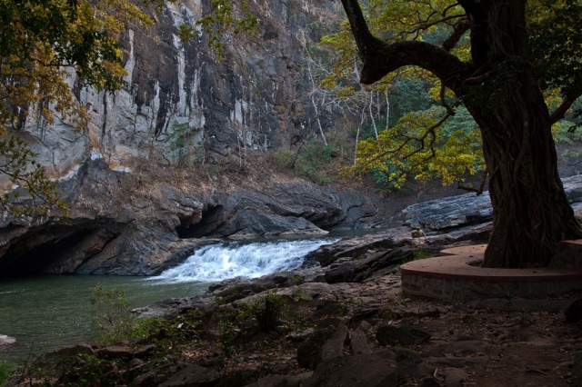
Syntheri Rocks near Dandeli, where a tributary of River Kali flows through rock formations.
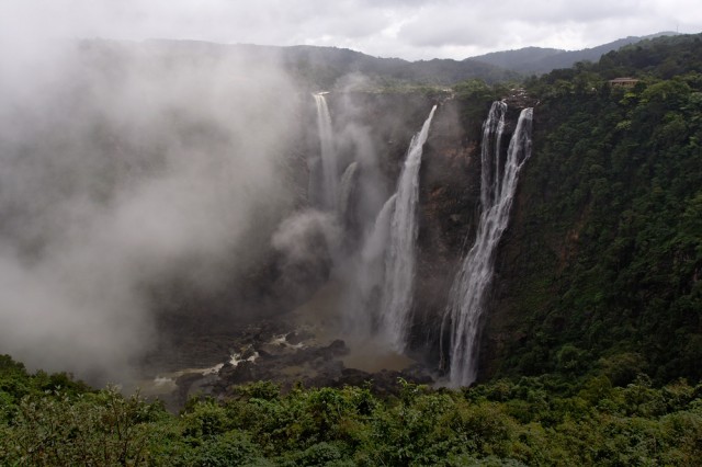
Jog Waterfall, where River Sharavathi plunges down a cliff more than 800 feet high, forming the tallest waterfall in India.
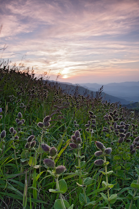
The hills of Bababudangiri, or Chandradrona Parvatha, form the tallest hills of the western ghats in Karnataka. The Kurinji Flowers (seen in the foreground), bloom here once in 12 years. When they do, every inch of the slopes is carpeted purple from the spread of the flowers.
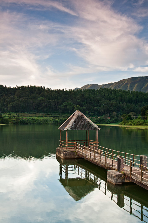
In most parts of Karnataka, much of irrigation for agriculture happens through lakes created by damming the streams. Such lakes, typically just large enough to cater to a small village, can be seen in many areas in the hills, such as this one near Chikmagalur.
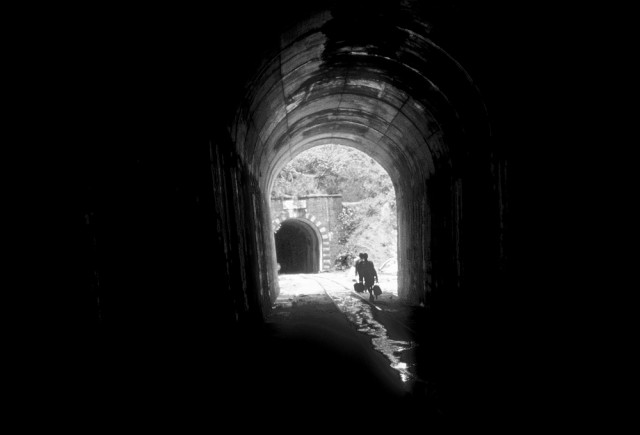
The hills form a contiguous stretch from northern end of Maharashtra to southern end of Kerala, with just one small discontinuity near Palakkad, Kerala. This discontinuity, well-known as Palakkad Gap, has historically connected the eastern and western sides of the hills. Today, a major highway and a train track take advantage of this gap, and together they have become an important link between Kerala and Tamil Nadu. Because of the contiguity in the hills, we see very few other train tracks cutting across these hills to connect inland with Karavali (region near the sea). Besides Palakkad Gap, perhaps the only other places where railway lines exist are from Pune to Mumbai and Bangalore to Mangalore. Naturally, the tracks across the hills pierce the slopes and have to tread over valleys, forming long tunnels and high bridges along the way. Here is one such tunnel on the track that connects Bangalore and Mangalore.
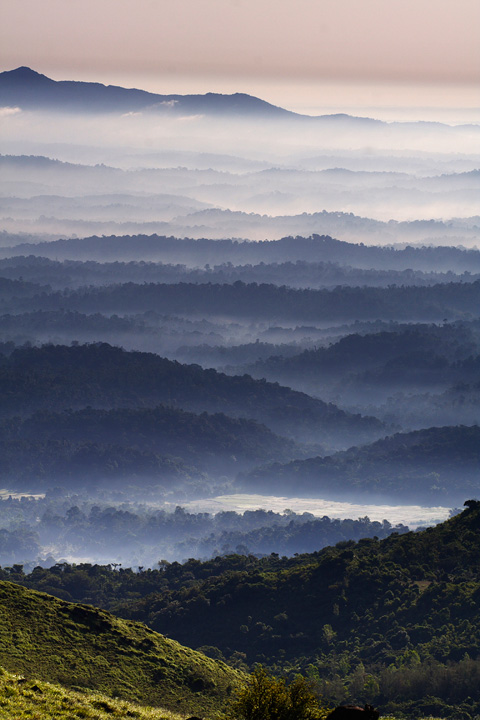
One gets to see undulating landscapes and reasonably well-preserved forests in the hills across the western ghats. The above photograph was made from the slopes of Thadiyandamol, the tallest peak in Coorg.
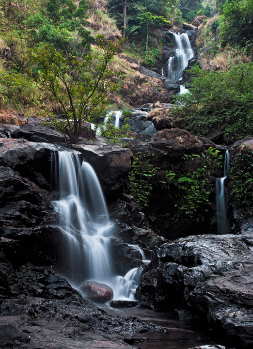
Waterfalls small and tall are seen everywhere across these hills, like Irpu Falls in Coorg, shown above.
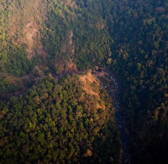
An aerial view of the hills bordering Karnataka and Kerala, photographed on assignment from a microlite aircraft.
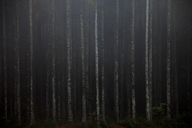
Beetlenut is probably the most commonly grown cash crop across the Western Ghats. The above photograph was made on a foggy day in Wayanad, Kerala.
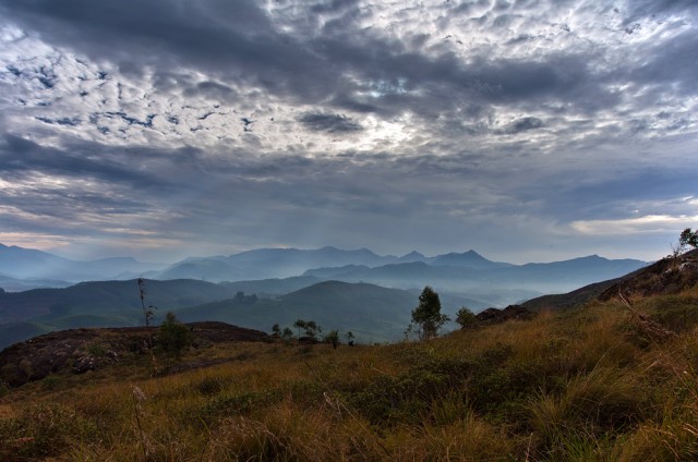
The hills of Munnar form the highest ranges in Western Ghats, with the tallest peak approaching a height of 9000 feet. They are also perhaps the most exploited hills in the entire range, with much of its forests having made way for tea plantations.
