To the delight of every naturalist and conservationist, the Western Ghats were accorded World Heritage Site status by UNESCO two days ago. Our ruling leaders however, were disappointed, as they were only interested in exploiting the resources than conserve the rich biodiversity. Government of Karnataka never wanted it. Kerala is uninterested. Goa was so apathetic that it managed to keep its hotspots outside the declaration. Maharashtra doesn’t appear happy.
It may take some time before we understand if the new status will make any difference to conservation at all. But it seems to be a direction in the right step. To celebrate the declaration, here is a collection of images from Sahyadri Ranges.
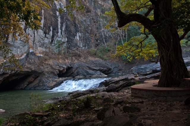
Syntheri Rocks near Dandeli, where a tributary of River Kali flows through rock formations.
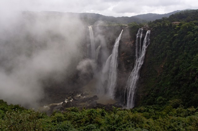
Jog Waterfall, where River Sharavathi plunges down a cliff more than 800 feet high, forming the tallest waterfall in India.
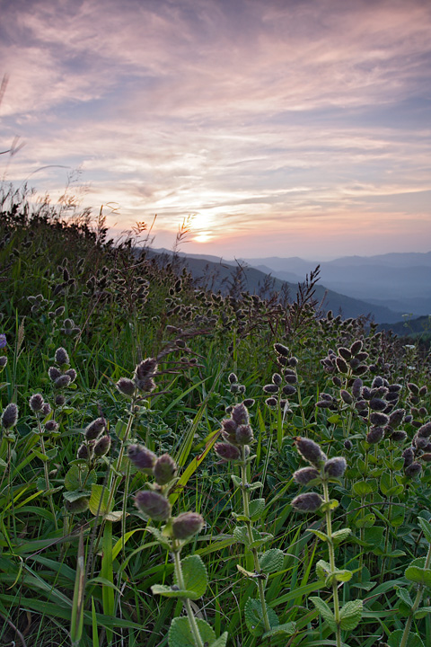
The hills of Bababudangiri, or Chandradrona Parvatha, form the tallest hills of the western ghats in Karnataka. The Kurinji Flowers (seen in the foreground), bloom here once in 12 years. When they do, every inch of the slopes is carpeted purple from the spread of the flowers.
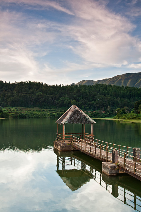
In most parts of Karnataka, much of irrigation for agriculture happens through lakes created by damming the streams. Such lakes, typically just large enough to cater to a small village, can be seen in many areas in the hills, such as this one near Chikmagalur.
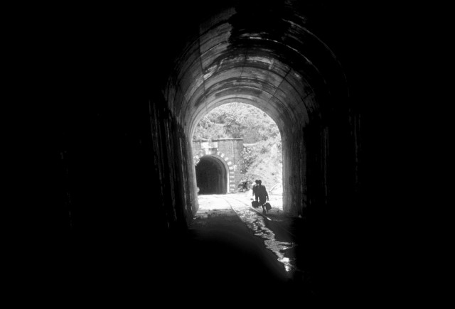
The hills form a contiguous stretch from northern end of Maharashtra to southern end of Kerala, with just one small discontinuity near Palakkad, Kerala. This discontinuity, well-known as Palakkad Gap, has historically connected the eastern and western sides of the hills. Today, a major highway and a train track take advantage of this gap, and together they have become an important link between Kerala and Tamil Nadu. Because of the contiguity in the hills, we see very few other train tracks cutting across these hills to connect inland with Karavali (region near the sea). Besides Palakkad Gap, perhaps the only other places where railway lines exist are from Pune to Mumbai and Bangalore to Mangalore. Naturally, the tracks across the hills pierce the slopes and have to tread over valleys, forming long tunnels and high bridges along the way. Here is one such tunnel on the track that connects Bangalore and Mangalore.
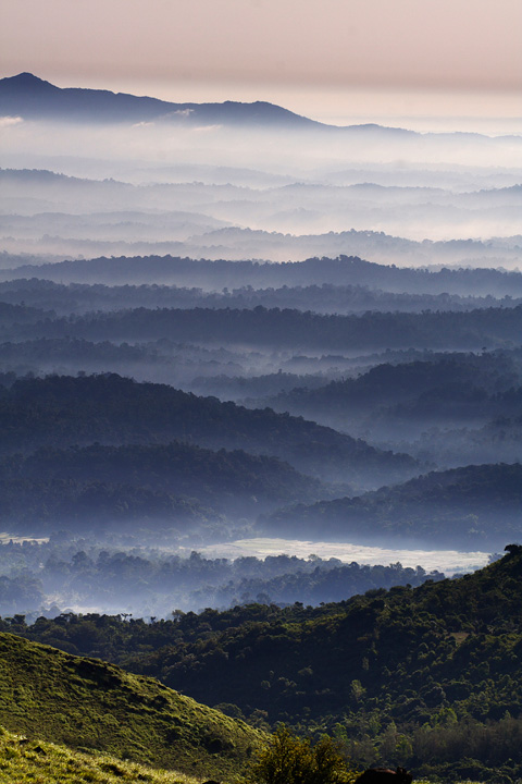
One gets to see undulating landscapes and reasonably well-preserved forests in the hills across the western ghats. The above photograph was made from the slopes of Thadiyandamol, the tallest peak in Coorg.
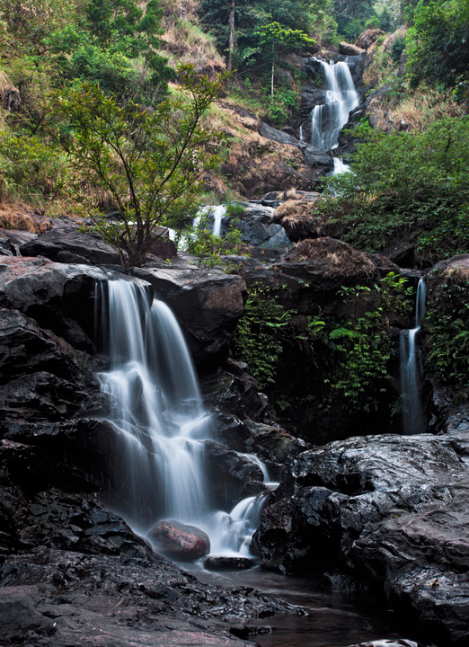
Waterfalls small and tall are seen everywhere across these hills, like Irpu Falls in Coorg, shown above.
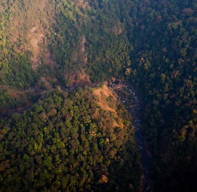
An aerial view of the hills bordering Karnataka and Kerala, photographed on assignment from a microlite aircraft.
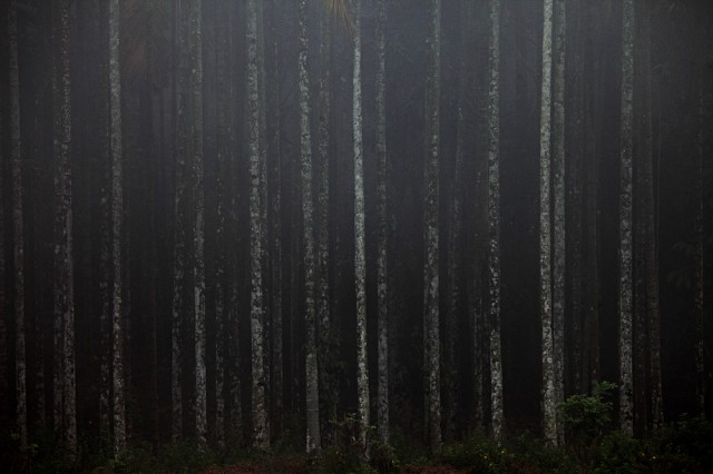
Beetlenut is probably the most commonly grown cash crop across the Western Ghats. The above photograph was made on a foggy day in Wayanad, Kerala.
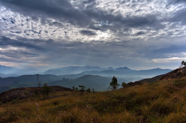
The hills of Munnar form the highest ranges in Western Ghats, with the tallest peak approaching a height of 9000 feet. They are also perhaps the most exploited hills in the entire range, with much of its forests having made way for tea plantations.
+ Also: More monsoon journeys on India Travel Blog.
Every year, monsoon rains rock India in the month of June and stay on till September. This is the only time of the year when it rains and provides a much-desired relief from the heat for everyone. These monsoon rains are also the primary source of water for all purposes – drinking water, irrigation, industrial use and anything else. Along with being a lifeline, it is also a romanticized phenomenon. People love it when it rains. The cool breeze and relief from the heat that it delivers, the smell of earth that raises with the early rains, the beauty of the droplets are all a cause of joy. The dry earth turns wet and green in the season and looks pretty. Every year, people anticipate anxiously for the rains, and celebrate when it arrives. In these days I normally spend some time around the rainforests in the Sahyadri hill ranges in South India, where it rains incessantly and the world looks picturesque. Once avoided due to constant rains, monsoon tours are now becoming a popular activity.
Also see more monsoon stories on paintedstork.com
* Hiking Brahmagiri Peak in Coorg
* Trekking on tracks – between Sakaleshpur and Subrahmanya
* Driving in the rains – Jog falls, Karwar and Kali river
* Tubing in Kaveri – some adventure and some stupidity
* Riverside picnic places around Bangalore
* An faq on monsoons
* Monsoon photo gallery
This year when the monsoons started, we decided to drive down to Chikkamgalur, a five-hour drive from Bangalore and spend some time watching the rains and trekking the hills. We packed bare minimal clothing and other requirements for a 2 day trip, and started late on a Friday evening. We reached the town too early and decided to catch some shuteye before dawn, and checked into planter’s court on Mudigere road. Planter’s court offers decent budget accommodation and I had stayed there earlier. Other options in town include small budget hotels all around, or Taj Garden Retreat on the higher side. It was around 4.30am by the time we crashed into the bed.
It was pleasantly cold and drizzling mildly in the morning. Getting out of the covers and getting ready turned out to be a difficult exercise. By the time we got ready and got moving, it was already around 9 in the morning. But outside, it hardly looked that late. Sun was hidden and every part of the sky was cloudy. There wasn’t much light and it looked as if it is early morning. Now and then it rained briefly and stopped. Although we had a few places in mind to go, we had not really planned anything for the day!

At first, we went to see a small lake just outside the town, in a village called HireKolale. I hope I remember the name correctly. It started raining hard on the way. The lake was surrounded by small hills, fields and farms.

It was misty and looked pretty. We strolled there for a while and worked on the next plan – to head towards Charmadi, deep in the middle of the hills.
 Stream at the bottom of the valley
It kept raining on and off and poured heavily at times. We stayed on there till evening and headed back to our car. We were back in Chikkamagalur around 8 in the evening, and after a quick dinner crashed into the bed.
The next day was not planned too! But we figured there is no need to wake up early, since the weather remained the same all through the day – raining or cloudy. We did not get to see the sun at anytime during the two days of our trip. After a brief discussion over breakfast and coffee, we decided to head to Mullayyanagiri. Mullayyanagiri is hill located around 25kms from town, situated in the same ranges as other well-known hills – Bababudan giri and Kemmannugundi. We drove through the wet roads facing the usual intermittent rains. It started getting foggy again when we started driving up the hill. After halfway or so, visibility had reduced to almost nothing.
 Fog on the way to Mullayyanagiri
It was raining too and the narrow road with deep valley right next to it made it a not-so-easy drive. But being used to such conditions helped. We decided to stop somewhere in the middle and walk the later part of the journey. It was so windy on the hill that we were almost carried upwards by the wind! Walking was hardly an effort. Sometimes wind made spooky and funny noises! After a short walk, we reached the top where they have a temple. Well, no surprises that one! When was the last time you climbed a hill in India and did not see a temple?!
The temple compound on the top of the hill
The foggy weather did not let us into any view of the valley below. After walking around there for a while, we headed back to town. After a brief stop in town to hill our hungry stomachs, we started our drive back. We had planned a visit to Belur temple, a beautiful historical monument on the way, but it was getting late and we could not make it before they closed it for visitors. After driving for a few hours on Mangalore – Bangalore highway, we were back in town around 11pm.


